
Hatkoti Mandir
Shikhara·9th century·India
Hatkoti Mandir is a historic temple complex located in the village of Hatkoti, Shimla district, Himachal Pradesh, India. Situated on the banks of the Pabbar River, the temples are notable for their architecture dating back to the 8th to 9th century CE, reflecting the Gurjara-Pratihara period.
Key Facts
- ›The temples are situated in Hatkoti village, Shimla district, Himachal Pradesh, India.
- ›They date back to the period between the eighth and ninth century CE, during the Gurjara-Pratihara period.
- ›The architecture is characterized by the classical Shikhara style, featuring conical or narrow tops and wide bases.
- ›The temple walls are adorned with ornate sculptures, showcasing the architectural designs of the era.
- ›Hatkoti is located about 102 kilometers from Shimla city, on the banks of the Pabbar River.
- ›The region is also known for the Sawra Kuddu Hydro Electric Project.
- Architectural Style of the Gurjara-Pratihara Period
- Historical Religious Site
Gurjara-Pratihara
Ornate Sculptures On Temple Walls
Pabbar River, Bishkulti Stream, Raanvati Stream
About Hatkoti Mandir
Hatkoti Mandir is a significant historical temple complex situated in the village of Hatkoti, within the Shimla district of Himachal Pradesh, India. Nestled on the banks of the Pabbar River, the temples are renowned for their architectural style, which dates back to the 8th to 9th century CE, a period associated with the Gurjara-Pratihara rule in India. The location of Hatkoti is approximately 102 kilometers away from the city of Shimla.
History and Architecture
The temples at Hatkoti are believed to have been constructed during the Gurjara-Pratihara Period, with parallels found in other regions like Balag Village and the Hanol Region. Their architectural design is characteristic of the classical Shikhara style, featuring structures that are conical or narrow at the top and possess a wide base. The walls of these ancient temples are adorned with ornate sculptures, providing valuable insights into the artistic and architectural achievements of the era. The construction likely occurred during the Pratihara Invasion of Kashmir, as the route for this invasion passed through the region.
Geography and Location
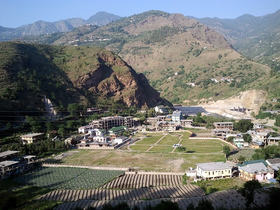
Hatkoti is geographically situated at 31.131°N 77.744°E, with an average elevation of 1,442 meters. The village is a confluence point where two mountain streams, Bishkulti and Raanvati, join the Pabbar River. The village is also known for the Sawra Kuddu Hydro Electric Project.
Source: Wikipedia ↗
Frequently Asked Questions
What is the historical period of the Hatkoti Mandir?
The Hatkoti Mandir complex dates back to the period between the 8th and 9th century CE. This era corresponds to the Gurjara-Pratihara Period in Indian history.
What is the architectural style of the Hatkoti Mandir?
The architecture of Hatkoti Mandir is primarily in the classical Shikhara style. This style is characterized by structures that are conical or narrow at the top and have a wide base at the bottom.
Where is Hatkoti Mandir located?
Hatkoti Mandir is located in the village of Hatkoti in the Shimla district of Himachal Pradesh, India. It is situated on the banks of the Pabbar River, approximately 102 kilometers from Shimla city.
What are the notable features of the Hatkoti Mandir's construction?
The temple walls are carved with ornate sculptures, which are a testament to the architectural designs of the eras in which they were created. The Shikhara style of architecture is a defining characteristic of the temple complex.
Related Temples (Hindu)

Tanot Mata Temple
The Tanot Mata Temple is a significant Hindu shrine located in the Jaisalmer district of Rajasthan, India, near the Pakistan border. Revered as a form of Goddess Hinglaj Mata, the temple is famously associated with the Indian victories in the Indo-Pakistani Wars of 1965 and 1971, with local folklore attributing the successful outcomes to divine intervention. The Border Security Force of India now manages the temple complex, which also includes a victory tower and a war museum.

Kumararama
The Kumararama Temple, also known as Bhimarama or Chalukya Kumararama Bhimeswara Temple, is a significant Hindu temple dedicated to Lord Shiva, located in Samalkota, Andhra Pradesh. It is one of the five Pancharama Kshetras and is renowned for its unique limestone Shiva Lingam, which is 16 feet tall and pierces through the roof to the second floor.

Triloknath Temple
The Triloknath Temple, located in Himachal Pradesh, India, is a significant religious site revered by both Tibetan Buddhists and Hindus. Originally believed to be a Buddhist vihara, it now houses a marble statue of Avalokiteshvara, worshipped as Shiva by Hindus and as Avalokiteshvara by Buddhists. The temple's architecture and history suggest a blend of influences, with its columns dating to the 9th century CE.