
Gaël
Gaël is a commune in northwestern France with a history stretching back to the 6th and 7th centuries when it was a significant town in the kingdom of Domnonia. It is recognized as the ancestral seat of Ralph de Guader, the first Earl of Norfolk and Suffolk in post-Conquest England. The area's name is believed to derive from the word for a ford, reflecting its location near the Meu stream, and it was historically a dependency of the Archbishopric of Saint-Malo.
Key Facts
- ›Known as the ancestral seat of Ralph de Guader, the first Earl of Norfolk and Suffolk.
- ›Was a major town in the kingdom of Domnonia in the 6th and 7th centuries.
- ›Historically a dependency of the Archbishopric of Saint-Malo.
- ›The name is thought to originate from the word for a ford or river-crossing.
- ›Site of an airfield (Advanced Landing Ground 'A-31') used by the German Luftwaffe and later the United States Army during World War II.
- ›Located on the left bank of the Meu stream.
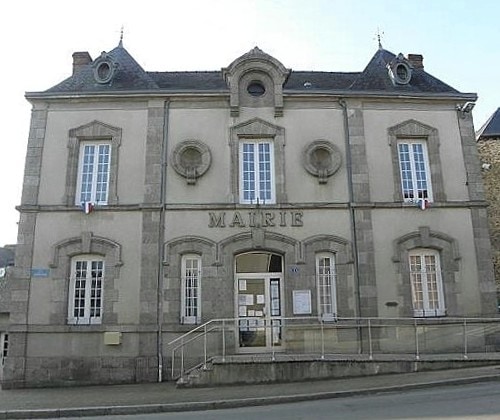
Meu Stream, Forests of PoutrecouëT
Gwazel
Ralph De Guader, HoëL
German Luftwaffe Occupied Airfield, Allied Air Forces Attacked Airfield, United States Army Seized Airfield
About Gaël
Gaël is a commune located in the Ille-et-Vilaine department of Brittany in northwestern France. Historically, it is recognized as a significant settlement with ancient roots, first appearing in records as Guadel in 799 AD. Its name is believed to stem from Old Low Franconian terms related to a 'ford' or 'river-crossing,' referencing its position on the Meu stream. The area's historical importance is further underscored by its role as a major town within the kingdom of Domnonia during the 6th and 7th centuries.
Historical Significance
Gaël holds particular significance for English historians as the ancestral seat of Ralph de Guader, who was appointed the first Earl of Norfolk and Suffolk following the Norman Conquest around 1070 AD. The ancient parish of Gaël was once a more extensive territory and served as a dependency of the Archbishopric of Saint-Malo. Local myths also connect the area to a 6th-century king named Hoël, sometimes referred to as the 'forest king,' a designation possibly linked to the commune's location amidst the extensive forests of Poutrecouët.
World War II and Modern History
During World War II, Gaël became the location of an airfield that was initially occupied by the German Luftwaffe in 1941. This airfield, designated Advanced Landing Ground 'A-31', was subsequently attacked by Allied Air Forces based in England on multiple occasions in 1943 and 1944. In June 1944, the airfield was seized by the United States Army. Following the war, the airfield was dismantled, and the land was returned to its original agricultural use. The inhabitants of Gaël are known as Gaëlites.
Source: Wikipedia ↗
Frequently Asked Questions
What is Gaël best known for historically?
Gaël is historically recognized as the ancestral seat of Ralph de Guader, who became the first Earl of Norfolk and Suffolk in post-Conquest England around 1070 AD. It also holds significance as a major town in the ancient kingdom of Domnonia during the 6th and 7th centuries.
What is the origin of the name Gaël?
The name Gaël is believed to derive from the word for a ford or river-crossing, reflecting its geographical location near the Meu stream. Old versions of the place-name include Guadel, Wadel, and Vadel, appearing in records from the 8th and 9th centuries.
What historical events occurred in Gaël during World War II?
During World War II, an airfield near Gaël was occupied by the German Luftwaffe in 1941. Allied Air Forces attacked this airfield in 1943 and 1944 before it was seized by the United States Army in June 1944. The airfield, known as Advanced Landing Ground 'A-31', was used by P-51 Mustang fighters.
What was the historical administrative or religious affiliation of Gaël?
Historically, the parish of Gaël, known in earlier forms as Guadel, was a dependency of the Archbishopric of Saint-Malo. This indicates its significant role within the ecclesiastical structure of the region.
Related Monasteries
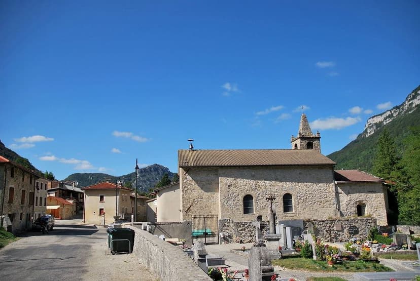
Bouvante
Bouvante is a commune situated in the Drôme department of southeastern France. Its geographical location places it within the Auvergne-Rhône-Alpes region. The commune is part of the natural regional park of Vercors, indicating a setting with significant natural landscapes.
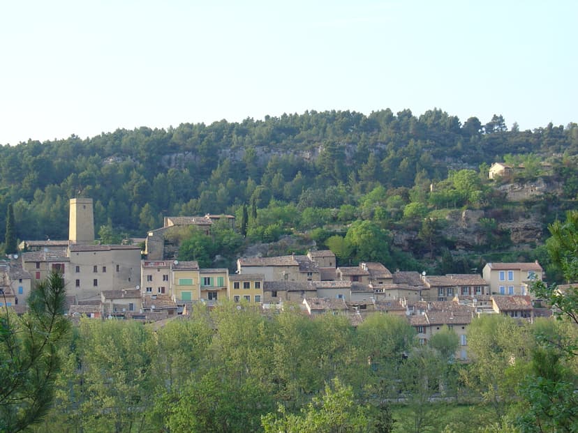
Jouques
Jouques is a commune located in the Bouches-du-Rhône department in southern France. The commune's name is derived from the Occitan term 'Jocas'.

La Couronne
La Couronne is a commune located in the Charente department of southwestern France, situated southwest of Angoulême. It is notably recognized as the birthplace of Jean-Edmond Laroche-Joubert, an industrialist who established advanced paper manufacturing plants in the commune during the 19th century. The area is also historically linked to the Abbey Notre-Dame de La Couronne.