
Chandranath Hill
Bangladesh·Asia
Chandranath Hill is the highest peak of the Chittagong Western Hill Range and the highest point in Chittagong District, Bangladesh. Located in the eastern part of the Himalayas, it is a significant natural landmark with several waterfalls and is a popular trekking destination. The hill is also associated with the Sitakunda Botanical Garden and Eco-Park built on its foothills.
Key Facts
- ›Highest peak of the Chittagong Western Hill Range.
- ›Elevation is approximately 1152 feet (around 351 meters).
- ›Features two notable waterfalls: Shahasradhara and Suptadhara.
- ›Trails for trekking include a natural dirt path and steep concrete/stone stairs.
- ›The Sitakunda Botanical Garden and Eco-Park is situated at its foothills.
- ›Forms part of a hill range extending south and southeast from the Himalayas.

About Chandranath Hill
Chandranath Hill is identified as the highest peak within the Chittagong Western Hill Range, a geographical feature that constitutes the eastern segment of the Himalayas, distinct from the main range. This prominent hill is situated in the Chittagong District of Bangladesh, forming a significant natural landmark within the region.
Geography and Hydrology
The Chittagong Western Hill Range, to which Chandranath Hill belongs, extends southward and southeastward from the Himalayas. This range traverses the Feni River, passing through the Indian states of Assam and Tripura before entering Bangladesh. The stretch from the Feni River to Chittagong City measures approximately 70 kilometers. The hill itself features two notable waterfalls, Shahasradhara and Suptadhara, along with numerous other fountains and canals. Some of these waterways contribute to the Halda River on the eastern side, while others, such as Mahamaya, Mitha Chhara, and many other canals and waterfalls, flow westward into the Bay of Bengal. A rubber dam has been constructed on the Mahamaya canal, creating a reservoir that ranks as the second-largest man-made lake in Bangladesh, following Kaptai Lake.
Elevation and Surrounding Peaks
Chandranath Peak is recorded as being approximately 1152 feet (around 351 meters) high, making it the highest point in the Chittagong District. Other nearby elevations within the range include Ambernama at 900 feet and Saijjydala at 801 feet. The elevation of the Chittagong North-Western Range generally decreases as it approaches the Karnaphuli River in Chittagong City. For comparison, Batali Hill on the city's outskirts is 280 feet high, and Nangarkhana, slightly north of the city, reaches 298 feet.
Trekking and Accessibility
Chandranath Hill is a destination for trekking. Upon reaching the base, the trail diverges into two routes. The left path is a natural dirt trail that meanders through forested areas and traditional Tipra villages. This route is often favored for ascents due to its less steep gradient. The right path is composed primarily of concrete and stone stairs, forming steep steps. This path is frequently utilized for descents, offering a more secure footing than the sometimes slippery dirt trail, especially after rain.
Environmental and Recreational Features
The Sitakunda Botanical Garden and Eco-Park is established on the foothills of Chandranath Hill. This park serves as a significant ecological and recreational area, drawing visitors to the natural beauty of the hill's surroundings.
Source: Wikipedia ↗
Frequently Asked Questions
What is the elevation of Chandranath Hill?
Chandranath Hill, also known as Chandranath Peak, stands at approximately 1152 feet (around 351 meters) above sea level. This makes it the highest point within the Chittagong District.
What are the main trekking routes on Chandranath Hill?
There are two primary trekking routes. The left path is a natural dirt trail winding through forested areas and traditional villages, often preferred for its gentler gradient during ascent. The right path consists mainly of steep concrete and stone stairs, commonly used for descent due to its firmer footing.
Are there any notable waterfalls on Chandranath Hill?
Yes, Chandranath Hill is known for its waterfalls and fountains. Two prominent waterfalls named Shahasradhara and Suptadhara are located on the hill. Several canals originating from the hill also feed into rivers like the Halda River and fall into the Bay of Bengal.
What is located at the foothills of Chandranath Hill?
The Sitakunda Botanical Garden and Eco-Park is built on the foothills of Chandranath Hill. This park is a significant natural attraction adjacent to the sacred mountain.
How does Chandranath Hill relate to the Himalayas?
Chandranath Hill is part of the Chittagong Western Hill Range, which is described as the eastern part of the Himalayas separated from the main range. This hill range extends south and southeast from the Himalayas.
Related Sacred Mountains
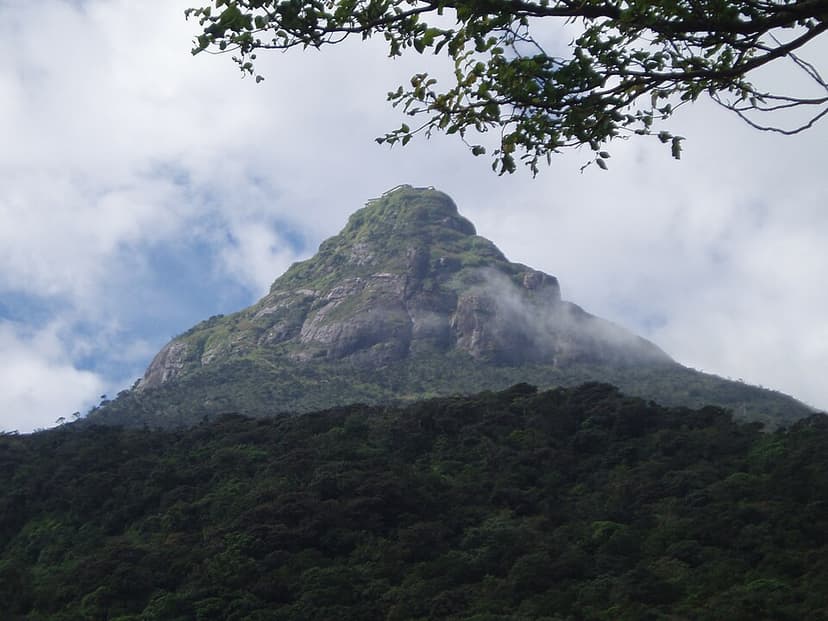
Adam's Peak
Adam's Peak, also known as Sri Pada, is a 2,243-meter-tall conical mountain in central Sri Lanka famed for a sacred footprint-shaped rock formation near its summit. This "sacred footprint" is revered by Buddhists as the Buddha's, by Hindus as Shiva's or Hanuman's, and by some Islamic and Christian traditions as Adam's or St. Thomas the Apostle's, making it a significant pilgrimage site for multiple faiths.
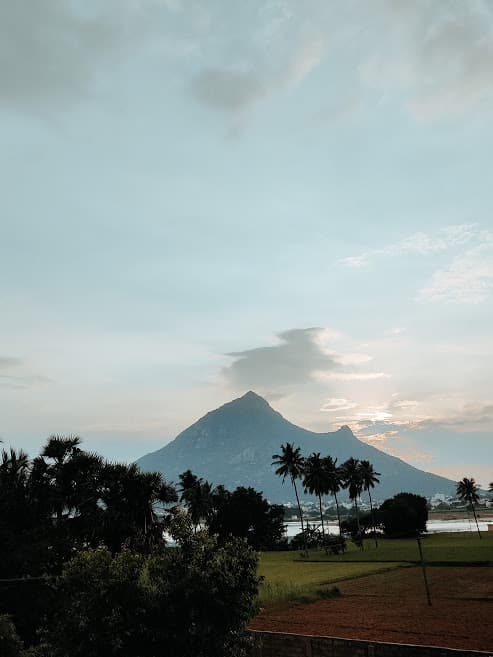
Arunachala
Arunachala is a sacred hill and one of the five main Shaiva holy places in South India, located in Tamil Nadu. It is revered as a manifestation of Lord Shiva and is the site of the Arunachalesvara Temple. The hill holds immense spiritual significance, particularly for devotees of Ramana Maharshi, and is a focal point for annual religious festivals and pilgrimage.

Ba Vì mountain range
The Ba Vì mountain range, also known as Tản Viên Sơn, is a significant soil-limestone mountain range in northern Vietnam, revered in Vietnamese folk religion as "the lord of mountains". While not the highest in the country, its most famous peak, Tản Viên Peak, is central to the mythology of the mountain god Tản Viên Sơn Thánh. The range is also a protected area, Ba Vì National Park, known for its primary forests and biodiversity.