
Stour Provost Grange
England·Village and civil parish
Stour Provost is a village and civil parish located in the Blackmore Vale area of north Dorset, England, situated along the River Stour. Historically known as Stower Provost, the area saw the development of smaller settlements from the 13th century onwards, which were later consolidated through land enclosure. The parish is governed by a grouped parish council and is part of the Dorset unitary district.
Key Facts
- ›Located in the Blackmore Vale area of north Dorset, England.
- ›Situated on the River Stour between Sturminster Newton and Gillingham.
- ›The CIVIL parish includes the settlements of Woodville and Stour Row.
- ›In the 2021 census, the parish had a population of 573.
- ›The Church of England parish church of St Michael and all Angels is a grade I listed building.
- ›An early-19th century water MILL is also a grade II listed building.
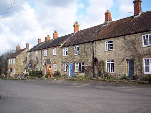
Church of St Michael and All Angels, 19th-Century Water Mill
Stower Provost
- Establishment of Stour Provost Village Near the River Stour.
- Development of At Least Four Smaller Settlements From the 13th Century Or Earlier In Common Land.
- Enclosure and Division of Common Land Into Rectilinear Fields, Likely By the 18th Century.
About Stour Provost Grange
Stour Provost
Stour Provost is a village and civil parish nestled within the Blackmore Vale region of north Dorset, England. Historically recorded as 'Stower Provost,' the settlement lies along the River Stour, positioned geographically between the towns of Sturminster Newton and Gillingham. The modern civil parish encompasses the primary village along with two additional settlements: Woodville and Stour Row, located to the east.
History and Development
The history of Stour Provost is marked by a gradual expansion from its initial establishment near the River Stour. From the 13th century, or possibly even earlier, smaller settlements began to form in a piecemeal fashion on the common land or 'waste' further east, in areas now known as Woodville and beyond. These early farmsteads, characterized by their irregularly shaped fields, remained separated by unenclosed land until likely the 18th century. During this period, the land underwent enclosure and was subsequently divided into more rectilinear fields, altering the landscape and settlement patterns.
Governance and Demographics
In terms of local governance, Stour Provost forms part of a grouped parish council, cooperating with the neighboring parishes of East Stour, Todber, and West Stour, with Stour Provost contributing five members to the council's twelve. At a higher administrative level, it falls within the Dorset unitary district. Historically, the area once constituted a liberty comprising only the parish itself. Between 1894 and 1974, it was part of the Shaftesbury Rural District, and from 1974 to 2019, it belonged to the North Dorset district. The 2021 census recorded a population of 573 for the civil parish, with approximately half of this number residing in Stour Row.
Notable Structures
Architecturally, Stour Provost features several notable buildings. The Church of England parish church, dedicated to St Michael and All Angels, is a Grade I listed building, with its origins possibly dating back to the 13th century, featuring a 14th-century nave and a 15th-century tower. Adjacent to the River Stour stands an early-19th century water mill, which is recognized as a Grade II listed building.
Source: Wikipedia ↗
Frequently Asked Questions
What is the historical spelling of Stour Provost?
In old writings, Stour Provost is usually spelled Stower Provost. This indicates a historical variation in the name's orthography.
What settlements are included in the Stour Provost civil parish?
The civil parish of Stour Provost encompasses the main village and also includes the settlements of Woodville and Stour Row, which are located to the east. Stour Row is a significant settlement within the parish, housing about half of the total population.
What is the population of Stour Provost?
According to the 2021 census, the Stour Provost civil parish had a total population of 573 residents. This population is distributed across the village and its associated settlements.
What notable buildings are located in Stour Provost?
The Church of England parish church of St Michael and All Angels is a significant grade I listed building, with parts potentially dating back to the 13th century. Additionally, an early-19th century water mill situated beside the River Stour is a grade II listed structure.
Related Monasteries
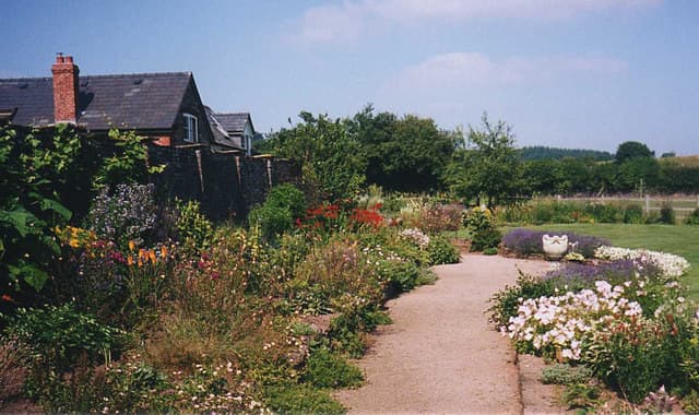
Abbey Dore
Abbey Dore is a village and civil parish in Herefordshire, England, notable for Dore Abbey, a 12th-century Cistercian monastery. The abbey, which underwent significant expansion in the 13th century, forms the core of the village's historical identity. The village's name, adopted in the 18th century, combines 'abbey' with the river name 'Dore'.

Abbotsbury Abbey
Abbotsbury Abbey was a Benedictine monastery founded in the 11th century by Orc and his wife Tola, becoming a significant local power center. Despite periods of misfortune, including the Black Death and coastal raids, the abbey was dissolved in 1539. Today, remnants of the abbey and associated structures like St. Catherine's Chapel are managed by English Heritage.
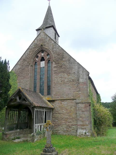
Aconbury Priory
Aconbury Priory was an Augustinian priory located in Herefordshire, England, founded in the early 13th century. The priory's church, still standing today, was initially constructed in 1230. While the conventual buildings have largely vanished, remnants of the east and north walls survived the dissolution.